Close
How to use:
The Maurice River Reaches Map is easy to interact with the simple controls and features provided.
Listed below are the key features and descriptions of how they can be utilized.

Working with the controls
The map is fully draggable. Simply click anywhere on the map and begin dragging your mouse to move the map to specific areas.
move up click to navigate the map "up".
move down click to navigate the map "down".
move left click to navigate the map "left".
move right click to navigate the map "right".
zoom in click to "zoom in" for a closer look.
zoom in click to "zoom out" to back away from the map.
default map setting click to get back to the "default" map setting.
red buoy click to learn more about that reach.
Maurice River Recollections Project
River Reaches
Debra A. Barsotti
Research Journalist
Citizens United to Protect the Maurice River
and Its Tributaries, Inc.

The Maurice River Reaches Project
Ore's
Reach #10

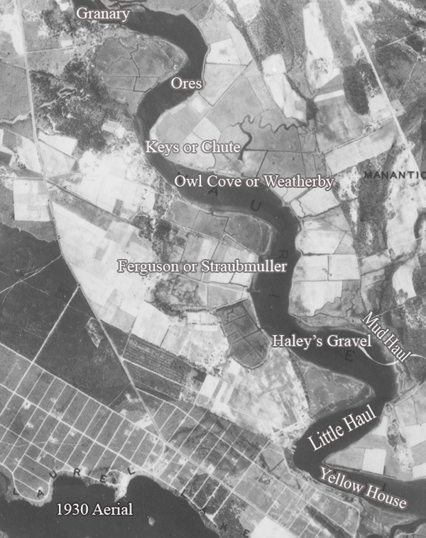
Map collector Charles S. Hartman of Port Elizabeth created several compilation maps of the Maurice River region. Many of these compilations were based on old maps. On Hartman's 1950 compilation map, Wm. Orr owned a farm on the eastern shores of the Maurice River. The map shows a barn on the property close to Otter Run between what is today Delsea Drive (Route 47) and the Maurice River. The year 1910 is noted on this location. (The spelling "Orr" is taken from this map. The spelling may have changed over the decades.)

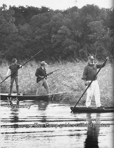
Port Elizabeth resident Ken Camp has been hunting along the shores of the Maurice River all his life. He is familiar with the meadowlands that bordered this reach. The property belonged to the Ore/Orr family. "It used to be a dairy farm at one time. That was back when we were hunting those meadows," Camp said. 

Camp said that he knew the family, but the only recollection he had was that his neighbor Jess Vanaman married one of the Ore/Orr daughters. "They built a farm house up there," Camp recalled.


Narratives
Ore's
Narrative
Recollections
Ken Camp