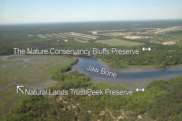
The Maurice River Reaches Map is easy to interact with the simple controls and features provided.
Listed below are the key features and descriptions of how they can be utilized.
Working with the controls
The map is fully draggable. Simply click anywhere on the map and begin dragging your mouse to move the map to specific areas.
 click to navigate the map "up".
 click to navigate the map "down".
 click to navigate the map "left".
 click to navigate the map "right".
 click to "zoom in" for a closer look.
 click to "zoom out" to back away from the map.
 click to get back to the "default" map setting.
 click to learn more about that reach.